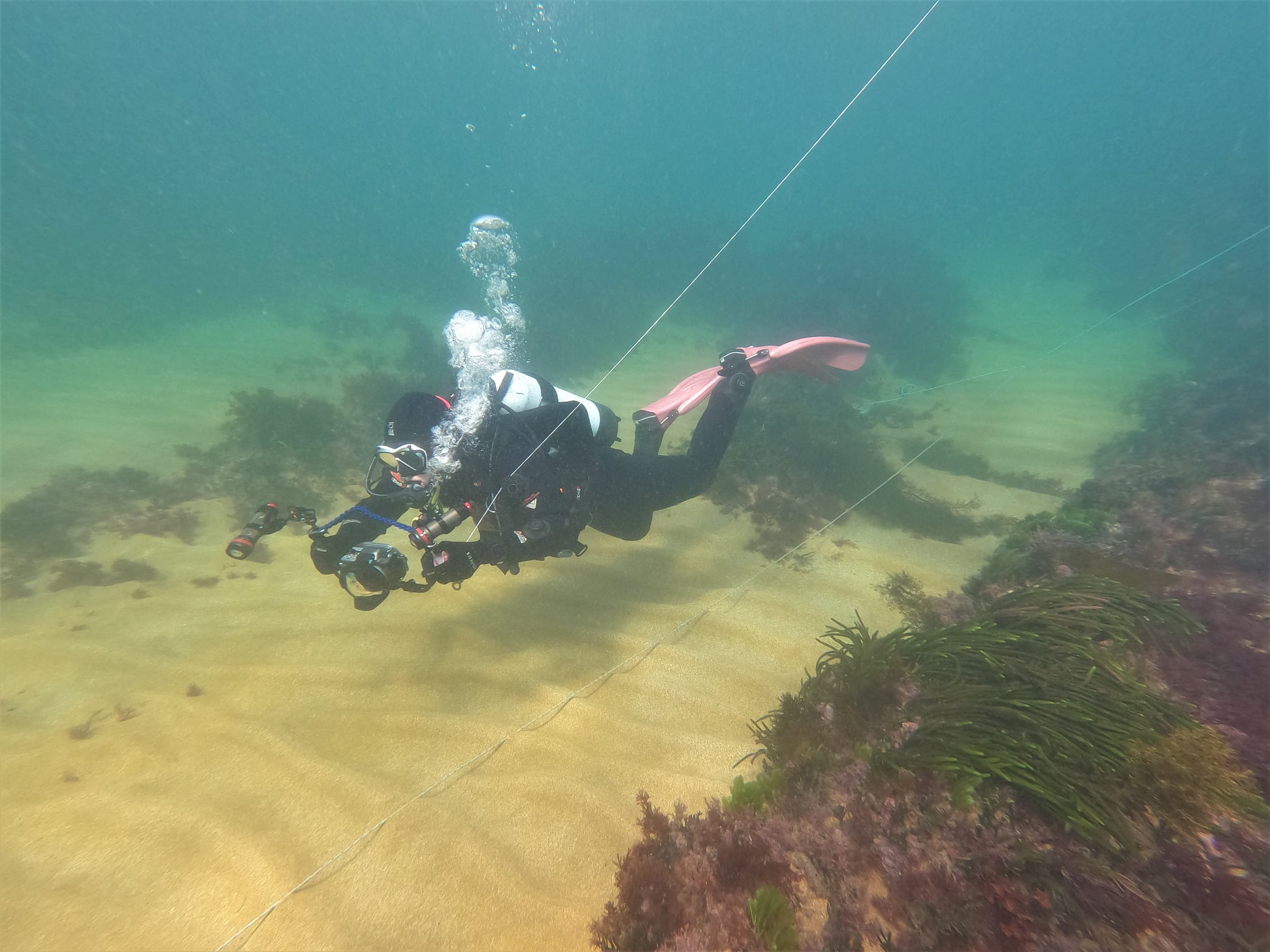
Project Marinus are continuing with their underwater surveys of the proposed route for the Marinus Link interconnector. Tasmanian marine survey specialists Marine Solutions this time were conducting a maritime heritage and archaeology survey. These surveys will provide important scientific data that will inform the rigorous environmental and technical assessment processes that will enable Marinus Link to be sensitively built.
In August, Marine Solutions carried out a seabed ecology survey across Bass Strait in preparation for the proposed Marinus Link interconnector. The survey used underwater video to capture images of the fauna which live on the seafloor, and sensitive seabed habitats such as reefs, outcrops, sponge gardens and seagrasses at depths of up to 60 meters, towed above the seabed to avoid disturbance.
You can keep up with the latest news from Marinus Link here
You can register for a free webinar from 2:00 to 3:00pm on 7th October to learn about the planning and assessment process here
Image: Project Marinus


